File:Notts KimberleyBreweries.jpg
Jump to navigation
Jump to search
Size of this preview: 320 × 205 pixels. Other resolution: 742 × 476 pixels.
Original file (742 × 476 pixels, file size: 109 KB, MIME type: image/jpeg)
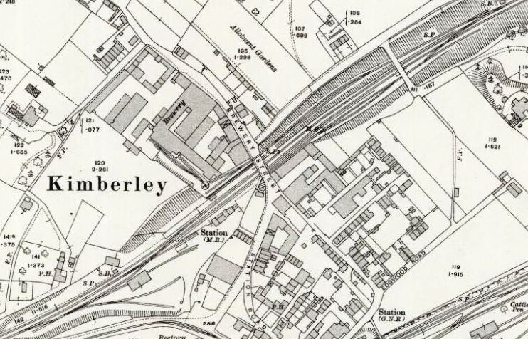
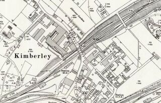
The Kimberley breweries side-by-side. An Ordnance Survey extract from 1913. "Reproduced with the permission of the National Library of Scotland" http://maps.nls.uk/index.html
Hardy's north-west of the railway; Hanson's to the south-east.
File uploaded with MsUpload
File history
Click on a date/time to view the file as it appeared at that time.
| Date/Time | Thumbnail | Dimensions | User | Comment | |
|---|---|---|---|---|---|
| current | 12:39, 23 June 2017 | | 742 × 476 (109 KB) | SteveP (talk | contribs) | File uploaded with MsUpload |
You cannot overwrite this file.
File usage
The following 2 pages use this file: